You're Allowed to Be Here: The Invisible Fences Stopping Adventurers From Claiming Their Public Land
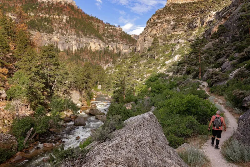
There's a particular kind of hesitation that hits when you're standing at the edge of a dirt road, staring down a trail that disappears into the trees. The gate is open. There's no sign. Your gut says go — but something else, louder and more cautious, says wait, are you sure you're allowed?
For a lot of American adventurers, that moment ends the same way. They turn around. They drive back to the trailhead they already know, the one with the paved parking lot and the laminated map bolted to a post. And somewhere in the back of their mind, they file that dirt road under "probably private" and never think about it again.
Here's the thing: that road was almost certainly public land. And that hesitation? It's costing you more adventures than any permit lottery ever could.
The Fear Is Real, But Is It Rational?
America has a complicated relationship with land ownership. Private property rights run deep in the national psyche — deeply enough that many of us have absorbed a kind of default assumption that land is owned until proven otherwise. Couple that with years of "No Trespassing" signs plastered across rural America, a few viral videos of confrontational landowners, and the general anxiety of not wanting to do something wrong, and you've got a population of would-be explorers who are quietly, constantly self-censoring.
Psychologists call related patterns omission bias — the tendency to feel safer doing nothing than risking a mistake by acting. In an exploration context, it looks like this: the potential embarrassment or legal risk of accidentally wandering onto private property feels so much worse than the certain loss of never going at all. So you don't go.
But the math here is badly skewed. The United States contains roughly 640 million acres of federally managed public land. That's about 28 percent of the entire country — managed by agencies like the Bureau of Land Management, the U.S. Forest Service, the National Park Service, and the Fish and Wildlife Service. That doesn't even count state parks, state forests, wildlife management areas, or the thousands of miles of public easements threaded through private land.
The land is there. It belongs to you. And in most cases, you don't need a permit, a reservation, or anyone's permission to stand on it.
Where the Gray Zones Actually Live
None of this means every unmarked trail is fair game. Real legal complexity does exist, and it's worth understanding rather than just fearing.
The trickiest situations tend to involve a few specific scenarios. First, there's the checkerboard problem — a legacy of 19th-century railroad land grants that left alternating sections of public and private land scattered across western states like Wyoming, Montana, and Idaho. A trail that starts on BLM land might cross a private section in the middle. Legally, you can't cross that private section without permission, even if the path looks continuous. Apps like onX Maps and CalTopo have made navigating these patchwork landscapes dramatically easier, color-coding land ownership so you can actually see where you're allowed to go.
Then there's the right-of-way question. Many rural roads that look private are actually public rights-of-way, maintained by county governments but running through private land. You have every legal right to travel them. The rancher's fence on either side of the road is his. The road itself? That's yours.
Finally, some states have stream access laws that grant the public the right to wade, fish, or float navigable waterways — even when the banks are privately owned. Montana's stream access laws, for example, are among the most expansive in the country, allowing public use of riverbeds up to the high-water mark. Many Montanans know this. Most out-of-state visitors don't, and they miss entire stretches of some of the best trout water in North America because they assumed they couldn't be there.
The Signs We Misread
Part of what feeds exploration anxiety is a genuine misreading of the landscape. Not every fence marks a legal boundary. Not every "Private Road" sign means the public is excluded — sometimes it just means the county won't plow it in winter. Not every gate across a trail means you can't pass; some are there to manage cattle, not people.
Conversely, the absence of a sign doesn't always mean you're in the clear. Dispersed camping areas on BLM land are often completely unmarked. So are many legal off-highway vehicle routes. The land is open, but you'd never know it without doing a little homework first.
The solution isn't to assume everything is accessible — it's to learn how to check. The BLM's GeoBOB tool, the Forest Service's Motor Vehicle Use Maps, and state-specific GIS portals can tell you, with reasonable precision, what's public and what's not before you ever leave your driveway. Fifteen minutes of map work before a trip is the difference between anxious guessing and confident exploration.
Reclaiming the Explorer Mindset
There's a broader cultural shift worth naming here. Somewhere along the way, outdoor recreation in America got very comfortable — and very managed. The rise of curated trail apps, Instagram-famous overlooks, and permit-required wilderness experiences has quietly trained a generation of adventurers to expect that someone else has already vetted the experience, marked the path, and confirmed it's okay to show up.
That's not inherently bad. But it creates a blind spot. The most interesting land in America often doesn't have an app or a hashtag. It's a canyon system in the BLM's backcountry that doesn't appear in any guidebook. It's a stretch of national forest road that dead-ends at a meadow nobody bothers to visit. It's the reservoir managed by a rural water district that allows fishing and non-motorized boating if you just know to ask.
These places exist in the gaps between the curated experiences — and they're almost always legal. They just require you to do the work of finding out.
The One Rule That Actually Matters
If there's a single principle that cuts through most of the confusion, it's this: know before you go, and ask when you're not sure.
Most land management agencies have ranger stations, public phone lines, or online contact forms staffed by people who genuinely want you to use the land appropriately. A five-minute phone call to a local BLM field office can confirm access, clarify restrictions, and sometimes surface information about places you never would have found on your own. Rangers tend to appreciate the question. It's the people who don't ask — and then do something genuinely illegal — who create the friction that eventually leads to more closures and more restrictions for everyone.
The imaginary fences are real in the sense that they shape behavior. But they're not real in the sense that they have any legal weight. You're allowed to be curious. You're allowed to look at a map and wonder what's out there. You're allowed to go find out.
America's public land was set aside, fought over, and preserved specifically so that ordinary people — not just the wealthy, not just the well-connected — could access wild places. That inheritance doesn't expire. It doesn't require a lottery ticket or a premium subscription.
It just requires you to stop talking yourself out of it.